Matrice 300 RTK (UAV Drone)


Innovating Surveying Technology
The Matrice 300 RTK sets a new standard for industrial drones by combining intelligence with high-performance.
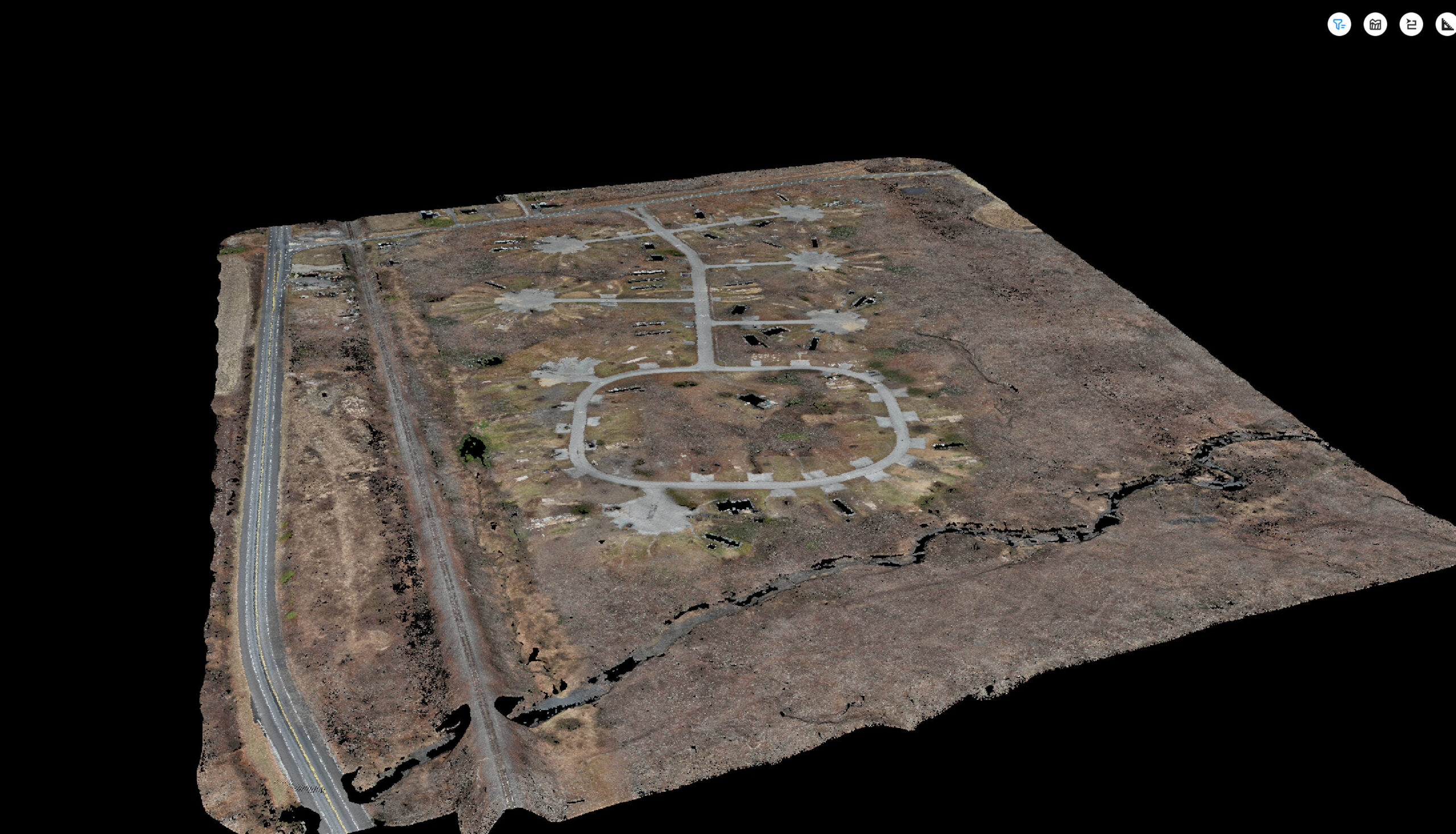
The Matrice 300 RTK can be combined with a variety of modules, including the Zenmuse P1, providing Ortho corrected imagery with a horizontal precision of 0.1’, and the Zenmuse L2, providing a LiDAR point cloud with a vertical precision of 0.1’.
Using the Zenmuse P1 module, the Matrice 300 RTK can collect high quality imagery and video to see an overview of the entire site.
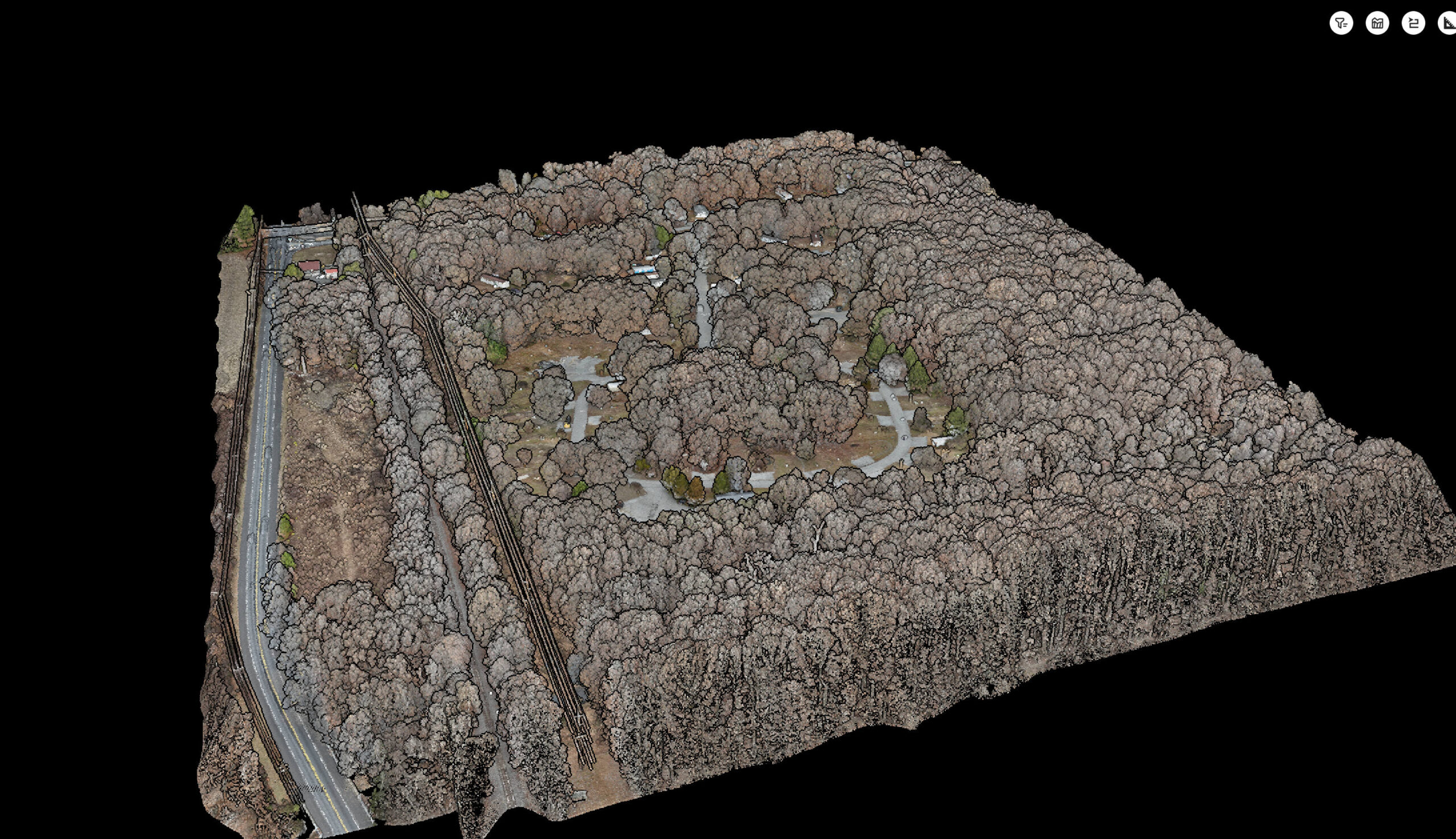
Using the Zenmuse L2 module, the Matrice 300 RTK can collect over 1,000,000 points of data per second through repetitive scanning. Repetitive scanning allows the Zenmuse L2 module up to 5 returns to penetrate dense vegetation for an accurate ground elevation.
Data from the Zenmuse P1 module and Zenmuse L2 module can be combined to create a base map that meets 1” = 40’ National Standard for Spatial Data Accuracy.
Using the Matrice 300 RTK allows for efficient data collection over large sites.
