RTC360 3D Laser Scanner
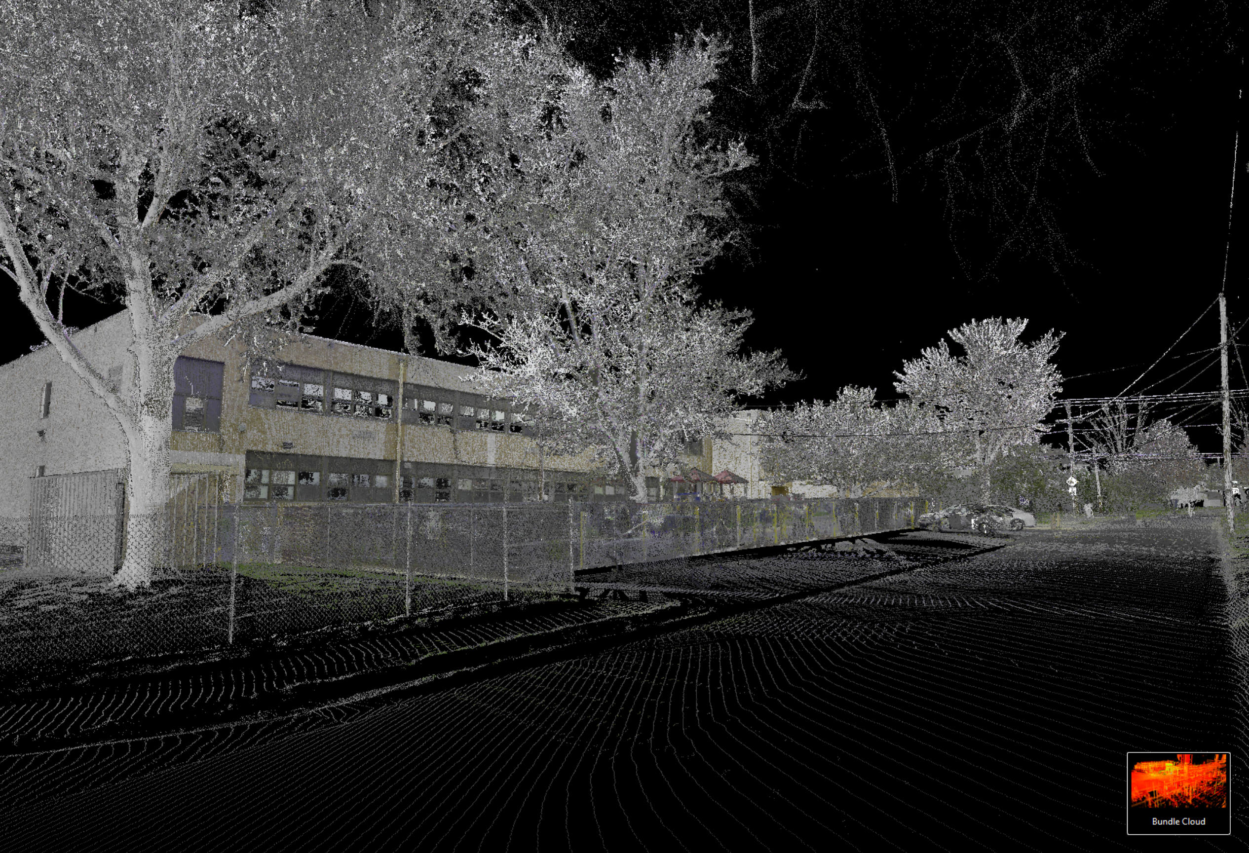
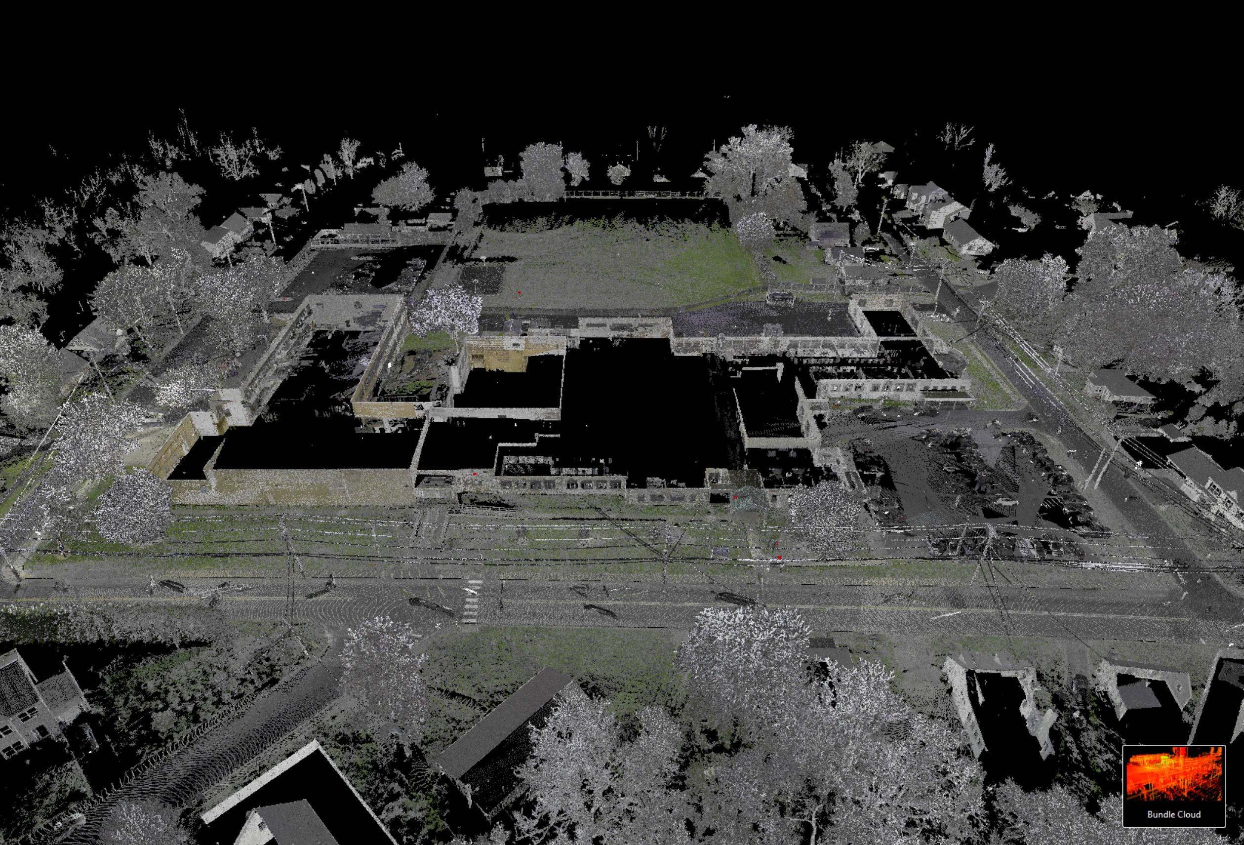
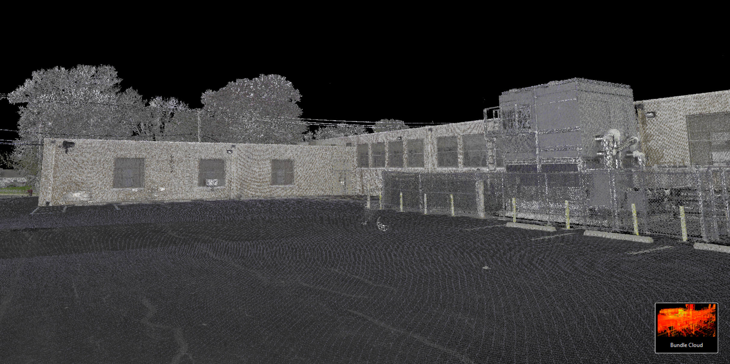
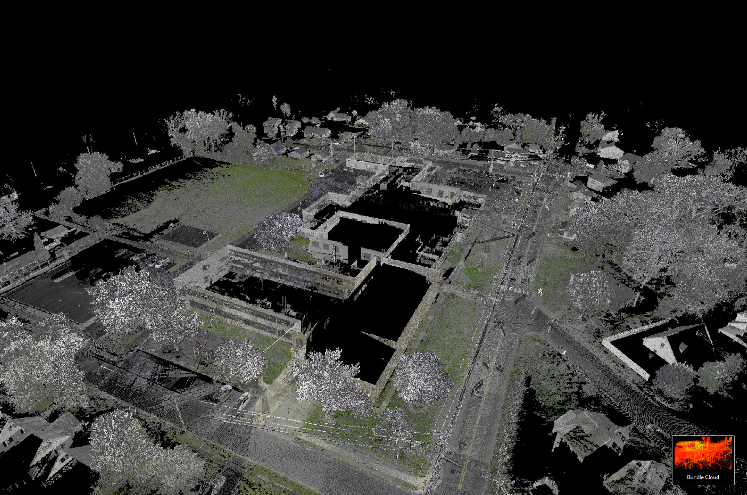
Innovating Surveying Technology
High-Performance 3D Scanner – The RTC360 3D laser scanner is the solution to manage project complexities with accuracy. Capture scans, including enriching High-Dynamic Range imagery, in less than two minutes.
Speed and Efficiency:
The LeicaRTC360 laser scanner significantly enhances the speed of 3D reality capture, reaching a measuring rate of up to 2 million points per second and creating detailed 3D point clouds in under two minutes. With automated, targetless field registration powered by VIS technology, it efficiently transfers data from the field to the office, minimizing time spent on-site and maximizing productivity. Data quality and a fast workflow have made it a favorite for larger jobs.
Topographic survey data is merged with 3D point cloud measurements and scans of the environment to give the user a complete picture of data being collected, reducing site trips or anomalies in the data.
Accuracy of the laser distance measurement is specified to the 1.0 mm + 10 ppm meaning an accuracy of 1.2 mm at 20 m.
Field to finish is redefined by the ability to process in the field with a 3D point cloud viewer.
Compiled data is processed with the complete Leica Cyclone Register, and Carlson Point Cloud for AutoCAD software suite for methodical field to finish.
This is a revolutionary transition for surveying!
